

Typhoon Ragasa in Thailand: Forecasts, Floods and Safety Risks
Written by the editors of theo-courant.com, your reference guide to Thailand and South-East Asia - based in Bangkok, at the heart of Thai culture.

Although Typhoon Ragasa will not make landfall in Thailand, it is intensifying the monsoon, bringing heavy rain, flash floods and coastal hazards across the country.
Typhoon Ragasa: Path and Development
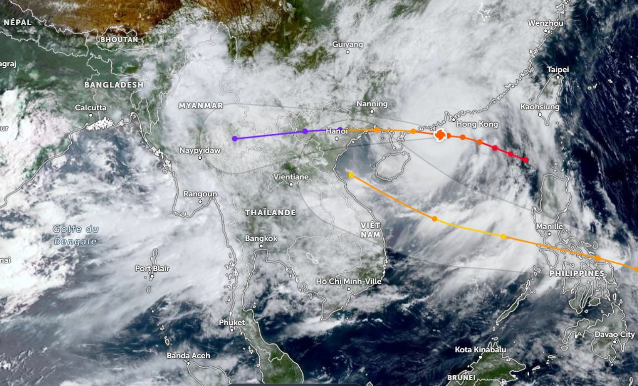
Typhoon Ragasa formed over the South China Sea with winds reaching 195 km/h.
According to the Thai Meteorological Department (TMD), the storm is moving northwest, skirting southern China, crossing the Gulf of Tonkin, and weakening into a tropical storm before landfall in northern Vietnam.
It will not directly hit Thailand, but its influence will strengthen the monsoon between September 23 and 26, 2025.
You can follow its movement live on the Zoom Earth website.
Impacts in Thailand
Rainfall and Flooding
- North and Northeast: widespread heavy rainfall, with risks of flash floods and landslides, especially in Chiang Mai, Sakon Nakhon and Khon Kaen.
- Central and Eastern regions: thunderstorms and potential river overflows in provinces such as Nakhon Sawan, Chachoengsao and Chanthaburi.
- Bangkok and surrounding areas: frequent thunderstorms and heavy rain, leading to traffic disruptions.
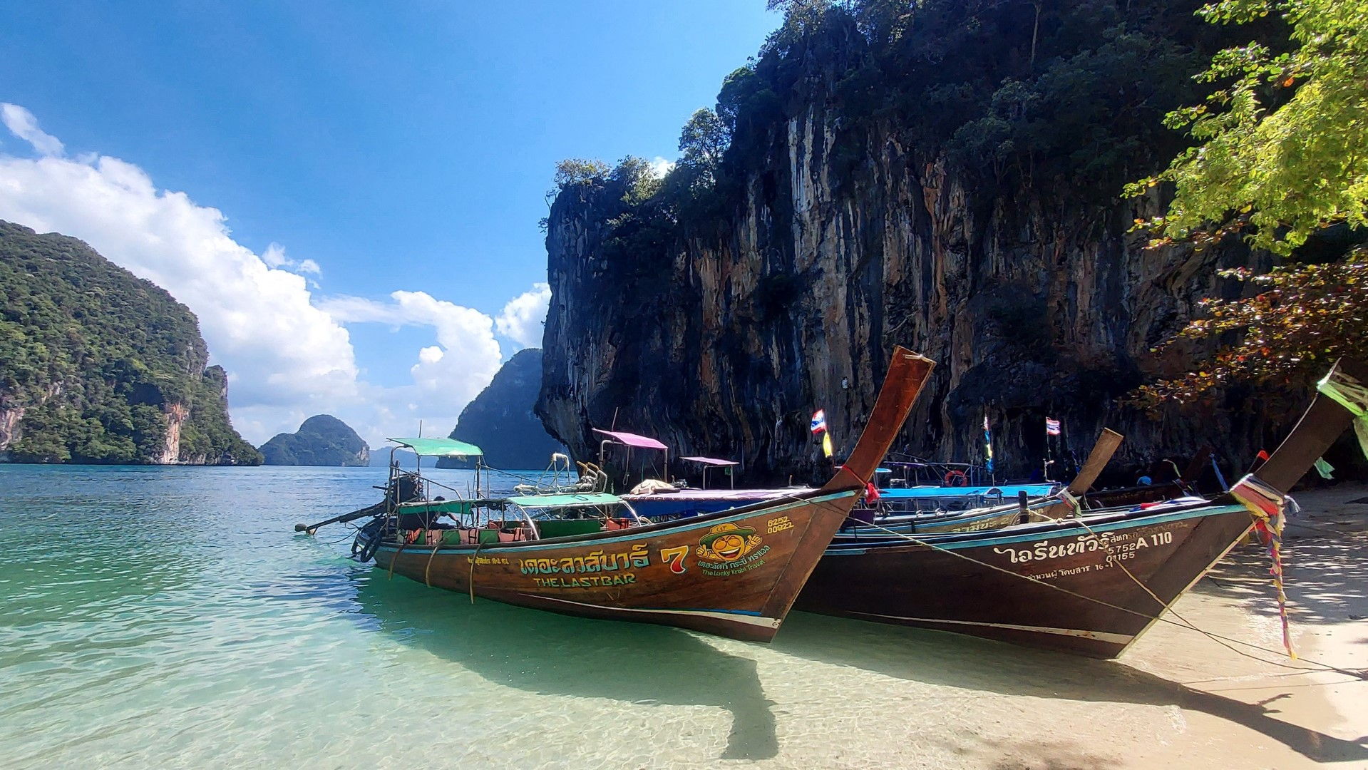
- South: scattered showers along the coast, but rough seas remain a major concern.
In Chiang Mai’s Mae Rim district, severe flash floods have already damaged 63 homes in Huay Jo village. Emergency crews evacuated residents as water from the Mae Sa River rose by nearly a meter within minutes.
Coastal and Marine Conditions
- Andaman Sea and Gulf of Thailand: waves reaching 2–3 meters, exceeding 3 meters during storms.
- Authorities advise extreme caution at sea, with small boats banned from sailing between September 24 and 26.
Transportation Disruptions
- Air travel: Thai Airways canceled Bangkok–Hong Kong flights.
- Roads: expected slowdowns in flooded and low-lying areas.
Official Safety Recommendations
The TMD urges residents to:
- follow updates on the official website or via the 1182 hotline (24/7),
- avoid flood-prone areas such as valleys, riversides and lowlands,
- be prepared for possible evacuations,
- stay cautious in coastal and mountainous regions.
FAQ on Typhoon Ragasa and Thailand
Will Typhoon Ragasa hit Thailand directly?
No. Ragasa will make landfall in Vietnam and southern China, but its effects intensify Thailand’s monsoon, causing heavy rainfall and floods.
Which areas of Thailand are most at risk?
Northern, Northeastern, Eastern regions and Bangkok are the most exposed. Coastal areas must also watch for high waves.
What are the main risks from Ragasa?
- Flash floods,
- landslides,
- river overflows,
- waves exceeding 3 meters at sea.
What should I do during sudden floods?
Move to higher ground, cut off electricity in flooded zones, follow local evacuation orders, and avoid crossing floodwaters.
Where can I find official updates?
On the Thai Meteorological Department (TMD) website, by calling 1182, or through trusted local media.